Utah trip - day 2 - May 5, 2022 (R)
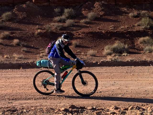
It was a nice temperature the evening before, but when we woke up before 6, it was a bit chillier (40ish) and Norm and I dressed accordingly. If I remember correctly, we didn't cook any breakfast that morning (and Norm can correct me if I am wrong) but brought things along to eat. We soon got ready and were off around 6:50 or so. Our goal was to bike on portions of the Behind the Reef Trail within an area known as the San Rafael Swell. Norm became aware of this ride from a list of routes on bikepacking.com and this ride was titled "Swell Night Out". To learn more about what a "reef" is here in Utah, visit the website about the Capital Reef National Park.
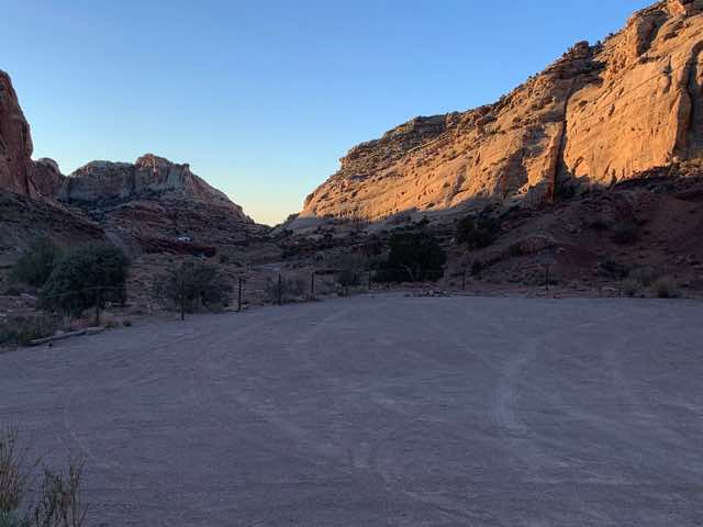
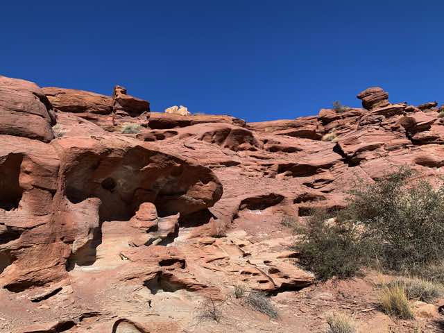
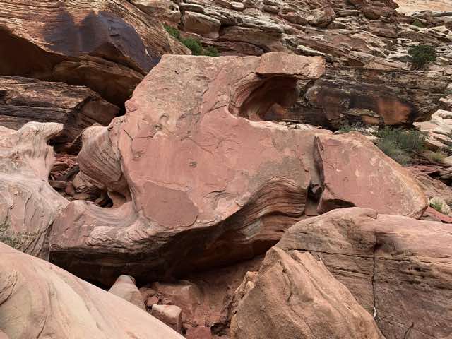
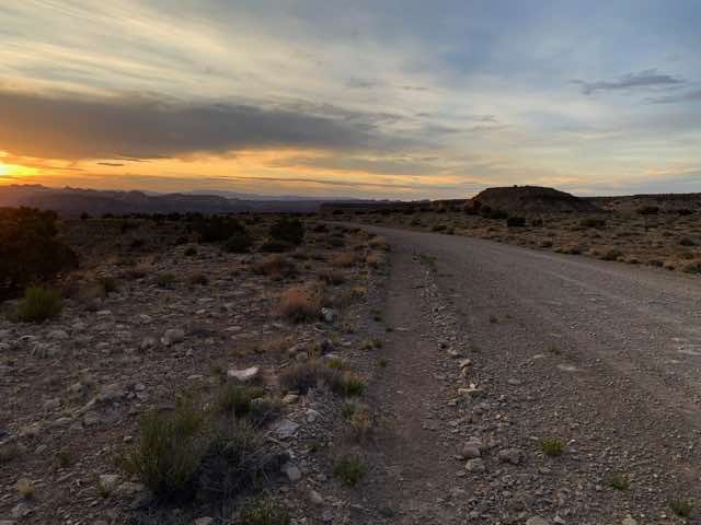
morning sunrise peeking in near Mountain Temple
As we pedaled roughly west, we saw many more places that people pulled over to camp in more remote places. By mid-morning, parts of the road got quite rough with larger rocks in the road and even portions of the road were large rocks embedded into the ground. I think this was also our first experience with the "hike-bike" phrase where we had to hike up a rough hill while pushing the bike.
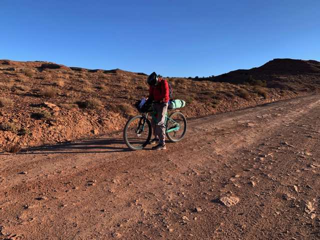
Norm's front pack in front of his handlebars was troublesome
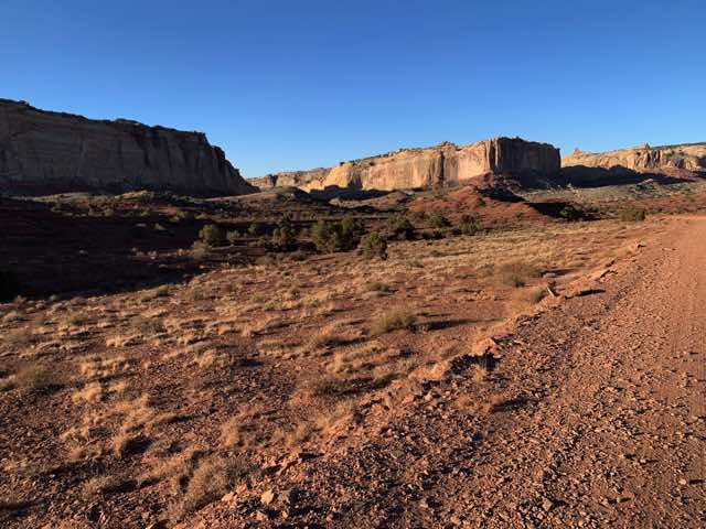
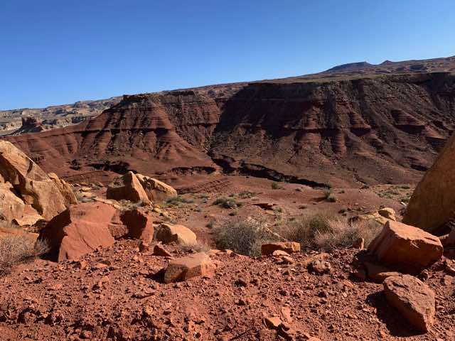
Scenery near us

Another view, showing our long shadows
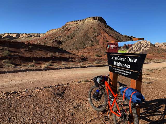
We were in Little Ocean Draw Wilderness for a time
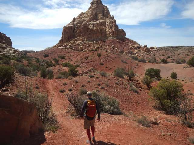
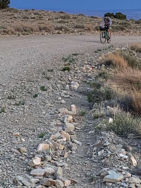
Norm on the trail
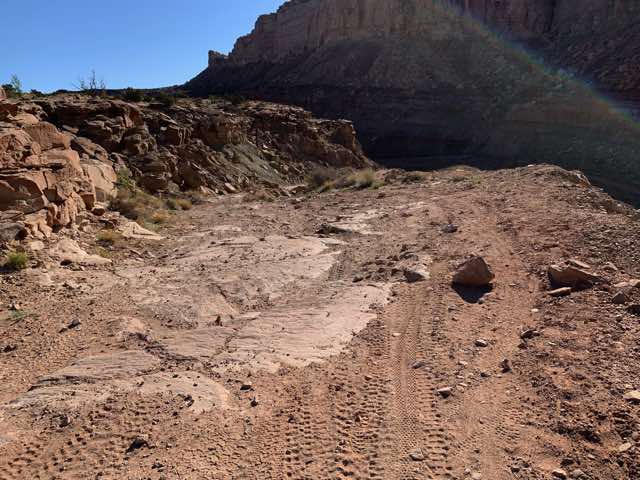
Tougher roads coming ahead
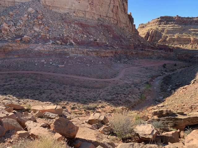
Better looling road below (until we get closer and see it is not). Note that the rode roughly parallels the draw.
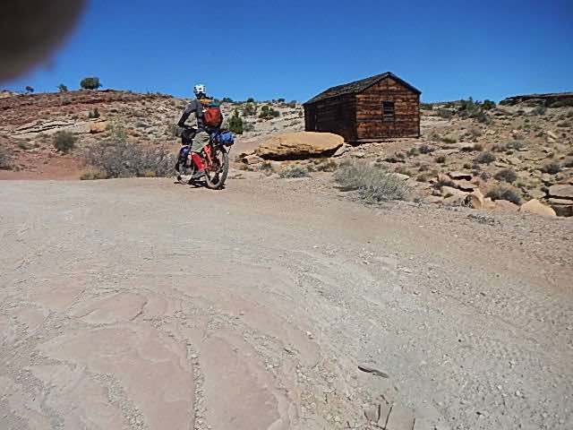
An old building along the trail.
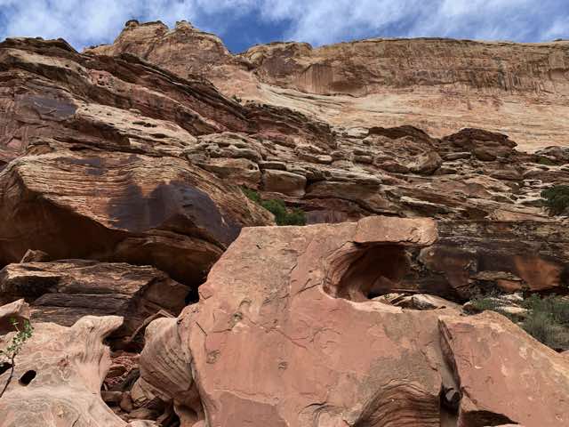
Interesting rock formations all along the roads.
Other views.
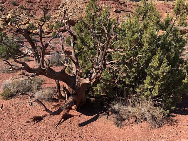
side-by-side trees: dead and alive
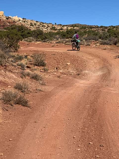
Norm heading down the trail.
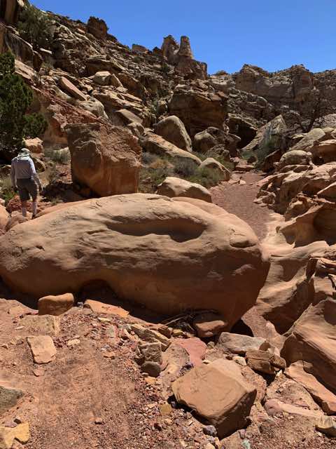
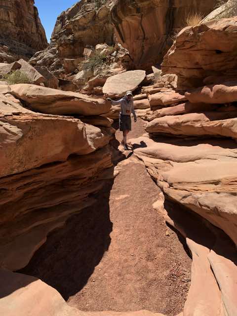
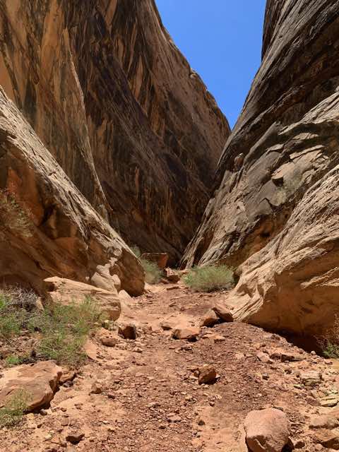
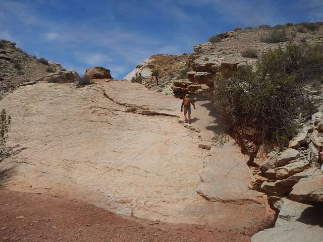
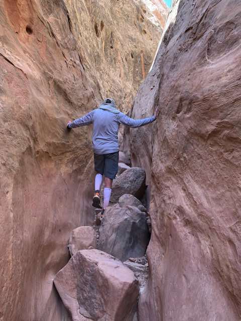
Before noon, we arrived at the location where we were to start our tour of the Dang and Ding canyons (and more info and once more). Norm emphasized the importance of making sure that we did Dang first, in counter-clockwise fashion since it was the harder of the two and easier to go down than up. I appreciated his knowledge of this since it was definitely easier to go down then up, though it was not easy to go down. There were about 5 or more places where ropes were set in place with knots or loops for hanging onto as we lowered ourselves down to a level below. The depth to lower ourselves was usually 3 to 6 feet, with some places easier than others. At the end of the canyon, there were three sections that were about 2 to 3 feet wide where there was water on the canyon floor but by using our feet and bottom or back, we could manage to bridge our way above the water and across the channel to the far side. I could do so even with my backpack on. The harder parts were challenging, but they were all reasonable to do. In all, it was a beautiful canyon and the pictures can't do it justice. Often the walls were quite close together but about 100 feet high.
Norm at the start of Dang canyon
Part way into the Dang canyon
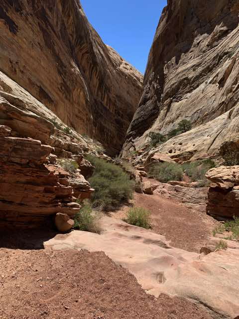
Dang's canyon walls begin to narrow
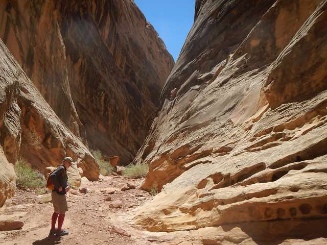
Al heading into narrowing Dang canyon
Another view of Dang canyon's beginnings
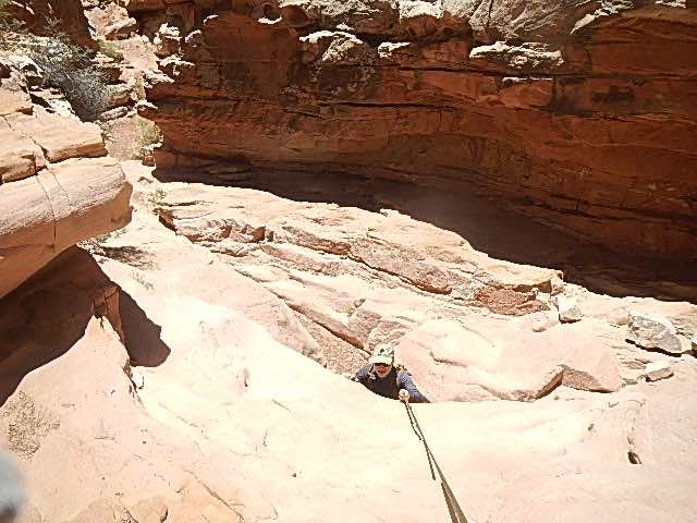
Al descending with a rope in Dang canyon
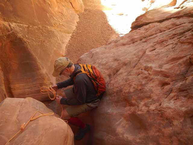
Al working on a descent with rope in Dang canyon
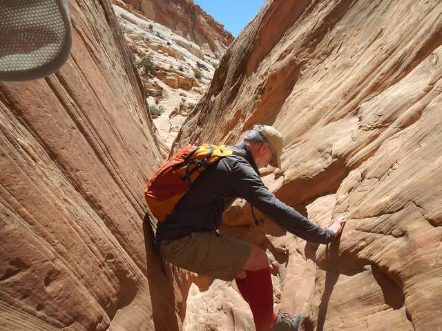
Al bridging across a section to get through.

Norm bridging across a last section of Dang canyon.
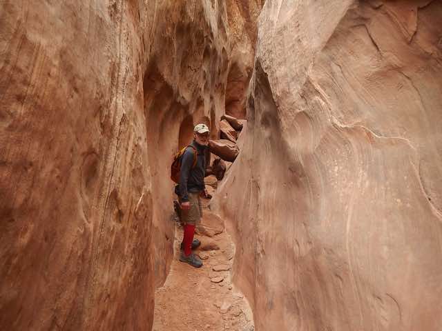
As we came out of Dang, we were looking for the trail to take Ding back. We kept walking in the hot sun and low humidity and we were getting hungry and thirsty. I happened to have two apples with me which scored a hit for both of us on both counts. We saw a group of 6 to 8 people heading for Dang and we wondered how far they would get since it is harder to pull oneself up over ledges with a rope, especially if one is not fit. After we got to the parking lot, we realized that we had missed our turn to Ding. After we retraced our steps, we found the entrance to Ding. It came off at an angle and we had just missed it. Walking back through that canyon was relatively easy compared to Dang, though equally beautiful. It is supposed to be a 5 to 6 mile round trip, but I think we did 7 to 8 miles. We took about 4 hours (counting the detour to the parking lot), which matches the estimate of 3 to 4 hours.
Starting up to Ding canyon
Navigating Ding canyon
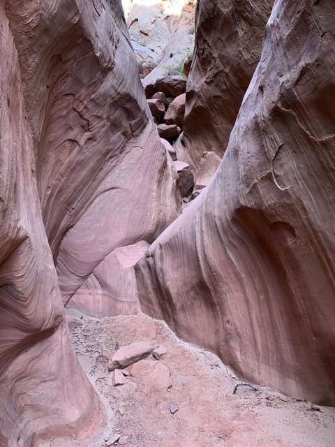
Working through a narrower section of Ding
Sometimes we had to search where to go
An interesting chunk of rock as we finished up Ding
That chunk likely came from way up high many years ago
Once we came out of the Ding canyon, we headed toward where we had parked (and locked) our bikes. As we got close, Norm thought we should follow one wash (dry creek bed) while I thought it was another. We tried the former for a while and then I went back and tried the other and found them. By this time we were both quite thirsty, not having brought enough water on our canyon hikes. As I brought one of Norm's bottles when I tried to find him, he was on his way back. We got back on our bikes after eating some and drinking more.
The butte ahead was our clue to go west of it toward our bikes.
We got back on the road again and still had some ways to go before our camping destination. The good news was that we only had about 5 to 10 more miles of difficult road before the road improved. The bad news was that these roads were troublesome. Going down one fairly steep hill, Norm slipped on some large loose rocks and went down hard. It was the second time that day the first aid kit came out for a spill, and we proceeded more cautiously. We walked down the rest of that hill since it was just hard to navigate. We continued on our ride with the goal of making it to the Muddy Creek campground. The better roads did eventually appear, but they were not all downhill and as the sky started to darken we found a place along the road where we could set up our tents and we ended our ride for the day. After setting up the tents, we ate some more and drank some more. For the last 6 hours my mouth had been feeling like I had cotton balls in my mouth since I was so dry. When I tried to eat a bagel, my mouth could not produce any salivary fluid and it took a long time to chew a small chunk of the bagel. Usually I needed a short drink to help swallow it. Darkness came while we were in our tents and we both slept really well.

I took a rest after getting to the top of a VERY long hill
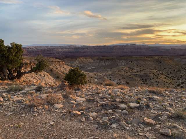
The sky to the west
A look down the road - still a ways to go and the sun is setting
The top of the hill is almost there.
Published 2022-05-19