Utah trip - day 8 - May 11, 2022 (W)
In the middle of the night, I had to get up to relieve my bladder and I noticed that my Achilles tendons were much more sore or stiff than when we had set up camp. I had to walk slowly, but walking did help some. I was glad to get back to sleep afterwards. Knowing that we had a shorter day, we didn't rush to get started in the morning. However, after breaking camp, packing up, and double-checking, we headed north back to the trail by 6:50 a.m.
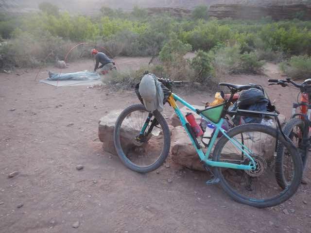
Preparing to leave our Hardscrabble camp site
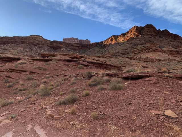
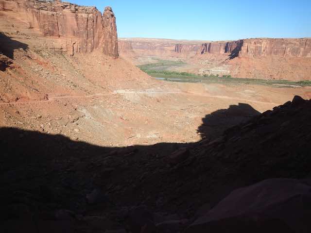
Looking up from the Green River floodplain
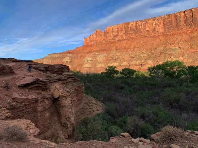
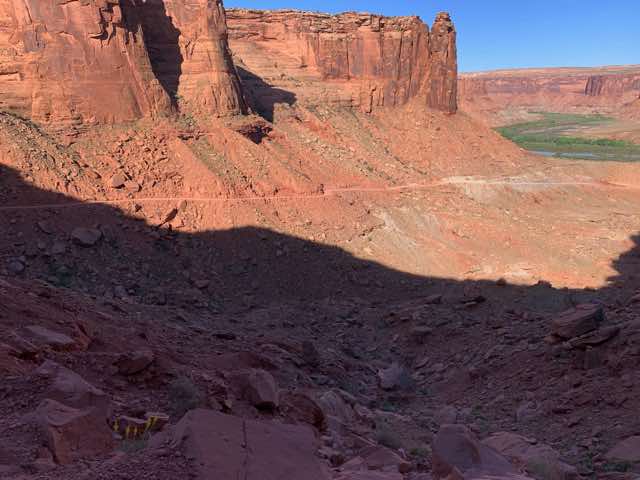
Now a bit higher, briefly, before we descend again
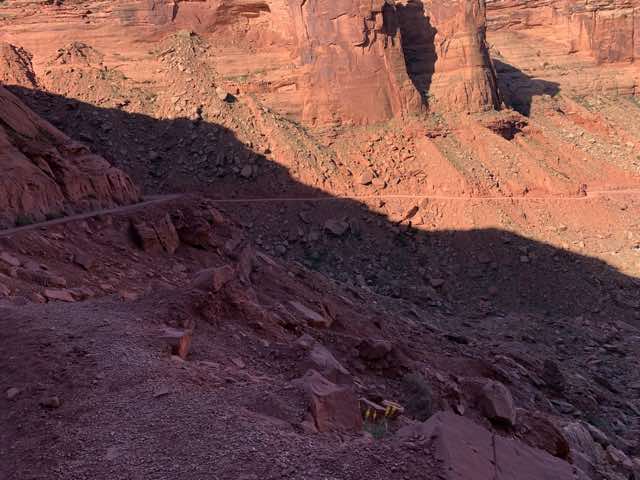
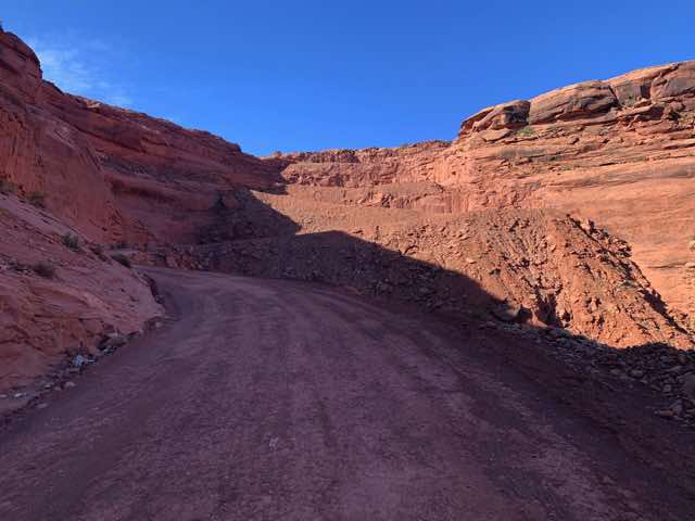
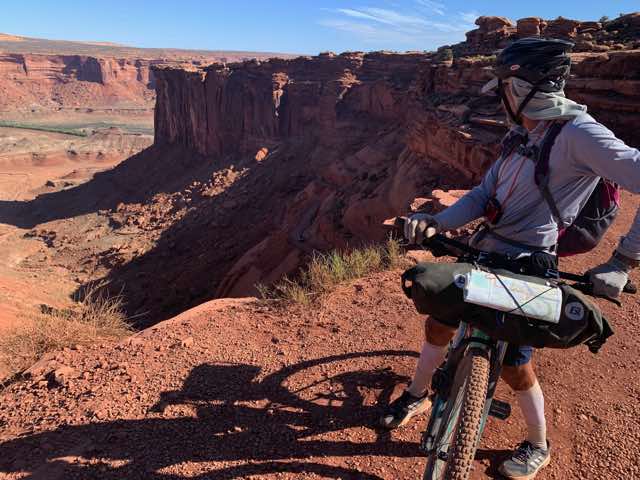
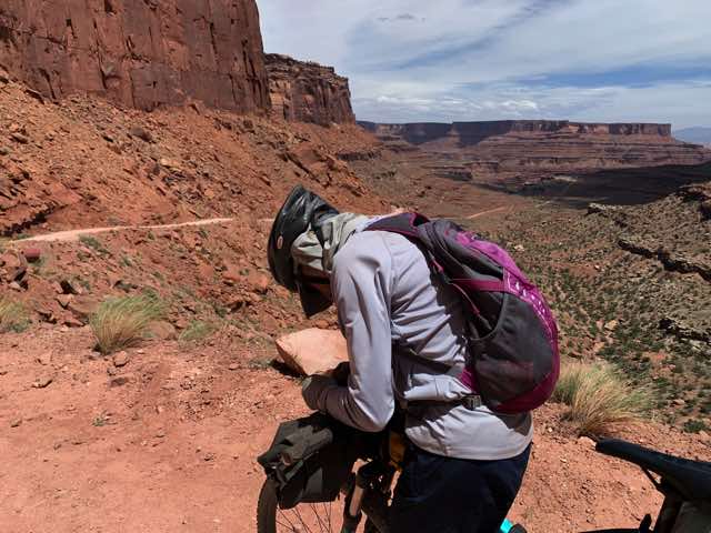
Norm stops to adjust his frontpack as we are about to descend back to the floodplain (7:00)
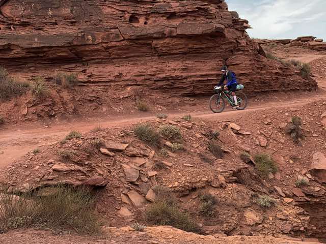
Coming down the hill
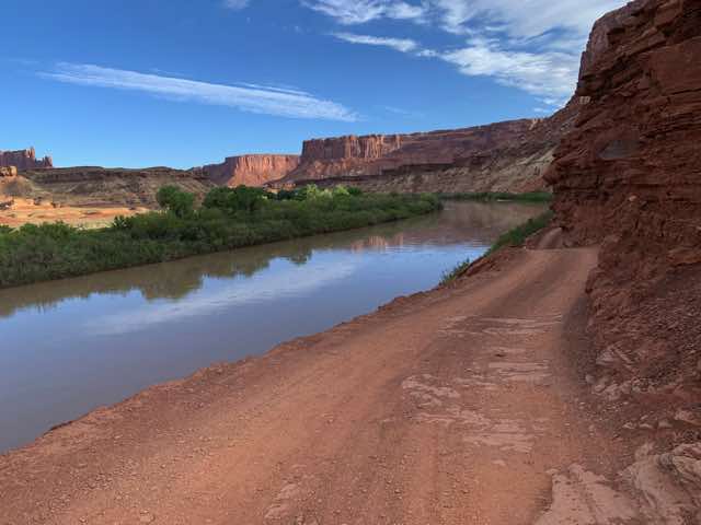
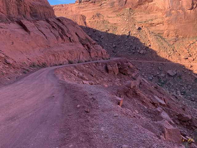
Peaceful ride along the Green River - just make sure your vehicle isn't too wide or tall (note obstacle ahead) (7:30)
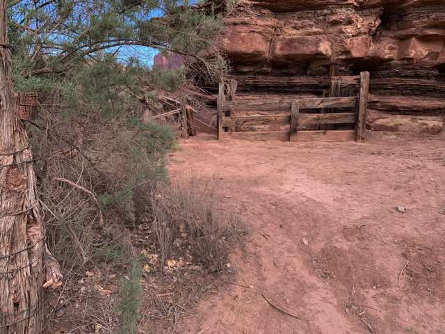
Part of an old stockade that used the natural contours of the rock as fencing
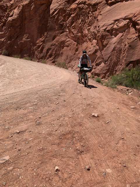
We saw many fresh tracks in the sandy road from nocturnal visitors: deer, coyote, mice, perhaps a cat track also. Other than occasionally too much sand in the road that slowed us down, the flat floodplain was fairly easy to navigate for 7 or 8 miles until we reached Horsethief Bottom. Before getting there, we actually left the Canyonlands NP land and moved into BLM land. At this point, we also left the Green River floodplain at 3970' and started heading up a long, gradual hill. This soon turned into a steeper hill that had another series of switchbacks to get us to the top. At that point, it was about 4900' and flat for a bit with a parking lot and outhouse. While on the way up, we stopped to take photos and converse with bikers coming down and a ranger also driving down, but we were both able to stay on the bike all the way up without walking. I think the condition of the road (quite nice), the grade (usually from 9 to 11 % in the switchback sections), and our freshness in the morning all contributed to our biking.

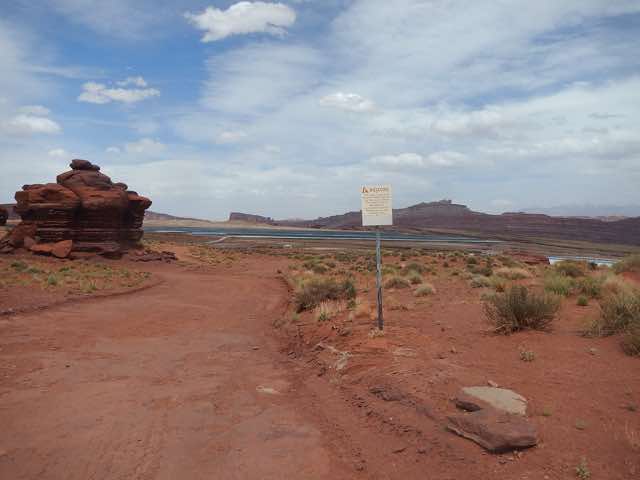
Park entrance information sign
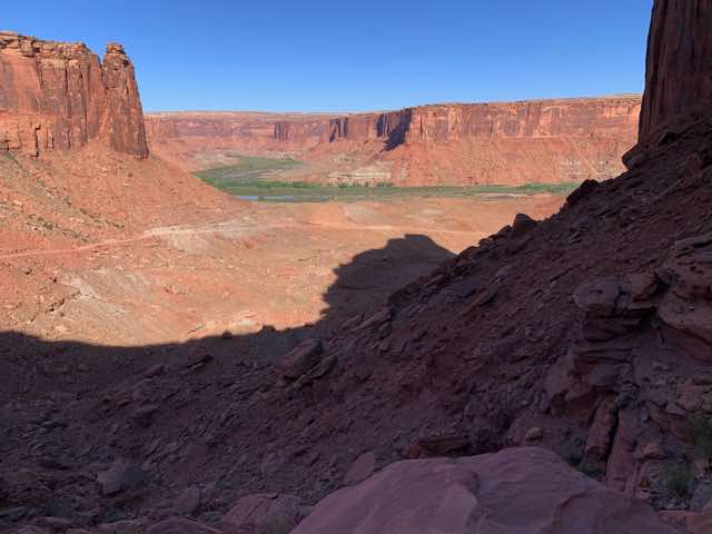
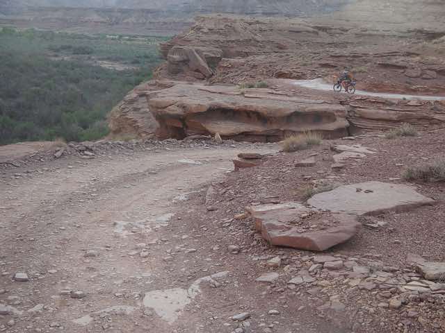
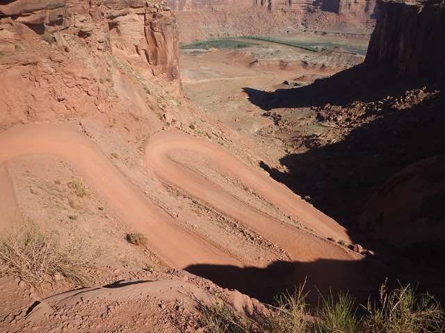
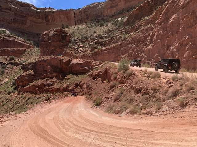
Green River below and I am up to the first hairpin turn. (8:50)
This looks a lot like the previous photo but taken by Norm a few minutes later. There were three bikers coming down and the third one stopped and talked with Norm and I. Here, he has caught up with the other two. As your eyes follow the road down the hill, there is a point where the terrain behind them (their left) becomes lighter in shade. If you zoom in, you can see 3 bikers. One thing this trip taught me was how small I am compared to the landscape.
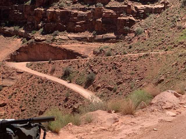
Another view but showing more of the road that was climbed
Last view showing more of the road that was climbed thus far, but not able to see the turn
Looking down toward the last corner one can see how good the road is. Norm is taking that corner right now.
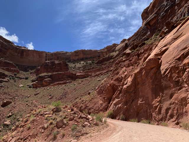
Looking up from close to the same location, one sees a number of switchbacks are ahead of us
At the top, looking down
At the top, the Green River is a long ways down and far away (look for green trees)
Once we got to the "top", we actually had to climb for about 11 to 12 more miles on the gravel road called Mineral Canyon road or Mineral Bottom trail (which one of the bikers going down told us was worse than doing Murphy Hogback (see Day 7) because of the washboard nature of the road). Our elevation went from about 4900' to 6140' before we reached the paved entrance into Canyonlands NP. The good news was that we were mostly heading in an ENE direction and the wind was coming out the WSW, so we often had a decent tailwind as the wind was relatively strong. We just plodded along on this stretch at a decent pace but we did not stop for many photos. (I had none, but not sure about Norm.) By the time we got to the paved Island in the Sky Rd that took us to the park entrance and the Shafer Trail start, the wind seemed to have shifted to being mostly from the south. This presented headwinds with speeds close to 30 mph, though the paved road was nice. Norm and I alternated drafting and leading on this portion of about 5 miles. We stopped at the park's entrance welcome sign. Another car pulled up to also take a photo there, so we exchanged taking the photos. At the park entrance office, the clerk asked to see Norm's camping permit which assured her that we had previously legitimately entered the park. She also asked about Norm's park pass, but this was in the truck at the bottom of the Shafer switchbacks. When we explained that, she waved us through.
We stopped at Cowboy Campground briefly, but I wanted to eat more so I suggested Norm get started without me. While there, the host from our Horsethief Campground, checking on this one as well, offered to get us anything if we had a need.
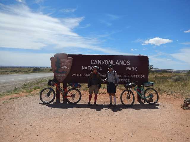
Entrance to Canyonlands NP
After another mile, we turned off on the Shafer Trail Road and read the warning signs and proceeded towards the first switchback. I remembered how the night before my brakes were making some unusual sounds, but I hadn't noticed anything yet this morning the few times I needed to brake. I was hoping there would be no issues now when I needed them the most. We saw some jeeps coming up, but they were a ways down yet. We continued on our way and waited for the jeeps at the second hairpin corner. From there, we also saw two bikers coming up. We had a few exchanges with them as we went down and they went up. Having paid for this "down" earlier in the day with the climb up on Mineral Bottoms Trail, I didn't feel guilty going down. We continued our descent with no more bikes or vehicles and only 1 or 2 more switchbacks. Then the road opened up and it was a straight shot to Norm's truck. Yes, my front brake was fine coming down. But what a busy place it was shortly after arriving at the truck. Several vehicles came from the White Rim road driving CCW as well as 3 bikers and at least one other vehicle came from the Potash road. I wanted to use the outhouse but had to keep waiting for others. We unpacked our bikes' attachments, put in the bikes, and lashed them down. We put most of our supplies in the back seat. The three bikers who stopped by us were trying to decide who should climb the hill to retrieve the vehicle(s). Norm had recognized them as ones we had passed on our ride yesterday, perhaps near Murphy Hogback. Yesterday, Norm asked me if I heard the one guy's accent, which I hadn't. He thought he was an Aussie. At this point, Norm asked and had his guess affirmed. Finally, two of the three went up and left the Aussie with us. The three were with a rental support group for which they had little positive to say. I think this was their third day whereas we had arrived at 1:30 on our second day. We finished packing up and headed out.
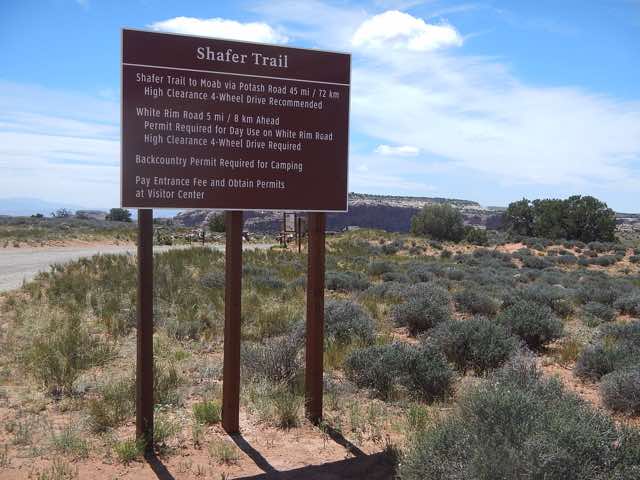
Rules of the Road
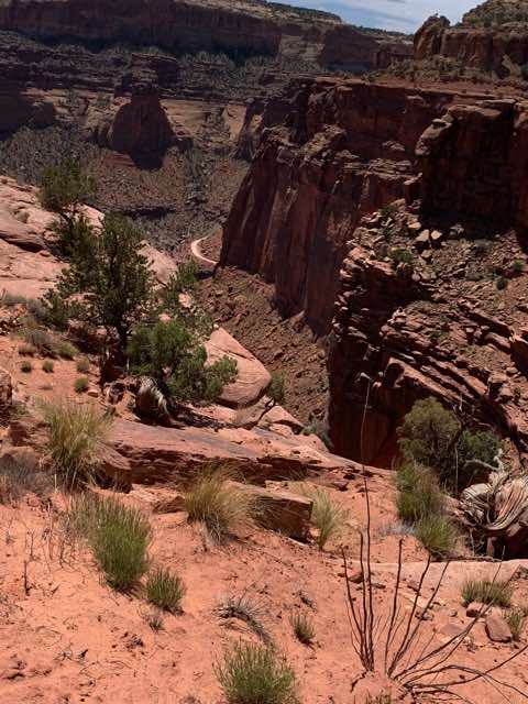
Shafer Trail ahead of us
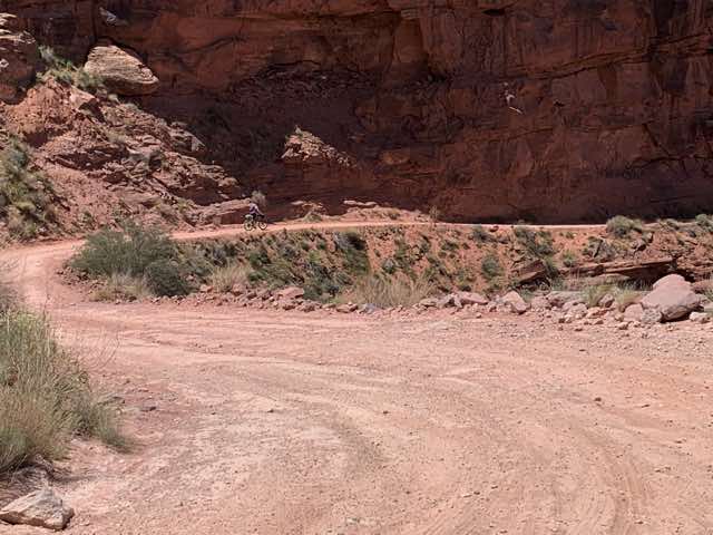
Starting our descent
Waiting for the jeeps
Bikers coming up on road in upper portion
Norm pulling over in a hairpin corner
Looking up to the observation area we had looked down on two days earlier
One more turn before we roll to the bottom
Scenery behind me as I try to do a panorama, #1
Scenery behind me as I try to do a panorama, #2
Scenery behind me as I try to do a panorama, #3
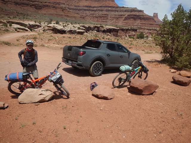
We made it!
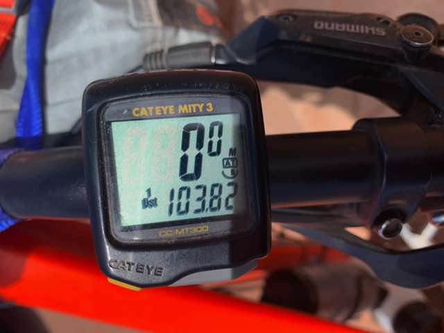
Odometer values at the truck
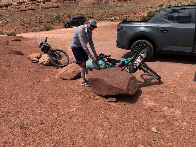
Unpacking
(While you have seen our photos, if you are interested in a photographer's view of the White Rim Trail, here is a site to check out.)
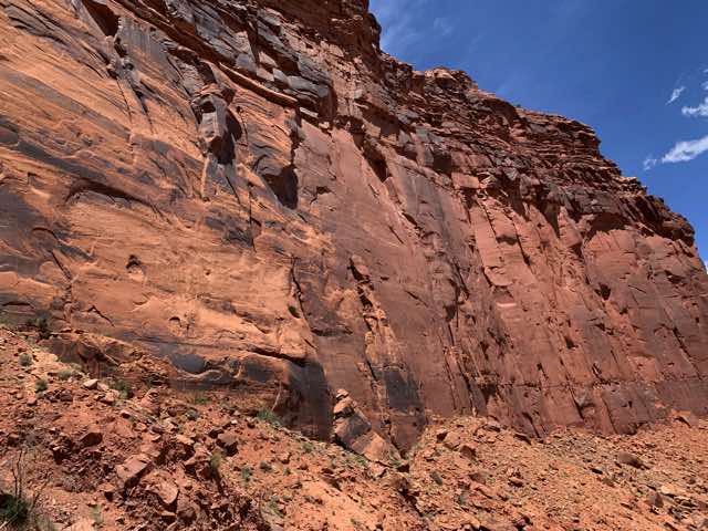
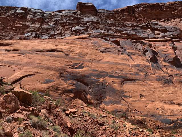
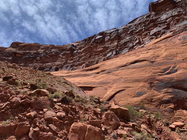
The goal was to take Potash Road to Moab, and try to learn more about the potash production process. The first 17 miles were unpaved and in many respects quite similar to the White Rim Road, though not quite as bad (but almost). After the potash plant, the paved section began for the last 16 miles to Moab. Both parts were pleasant and went well. As we went through the potash plant area, we had more questions than we had answers, but it looked like an interesting place. The evaporation ponds we quite large and had fairly high retaining walls. The paved portion of the road was busy, especially given it was a Wednesday afternoon. There were many places where climbers were attempting the cliffs on the side of the road. Our road followed the snaking Colorado River on our right and often with cliffs on our left.
By the potash evaporation ponds
When we got into Moab proper, we got some fuel for the truck at Exxon and fuel for its passenger's at Wendy's. If I remember correctly, this Wendy's only had drive-through, so we ordered and drove to Lion's Park, which Norm remembered was along the river and the road upon which we were next traveling. Our getting in and out for gas, Wendy's, and this park made it clear to me that my Achilles tendons had become worse as I had trouble walking easily. I guess the biking worked better than sitting still in the truck, though I could feel them a little while biking. Norm also noticed and questioned me about my situation and limitations. We had talked about finding some more places to bike and hike as we started heading back. I had to nix the latter except for shorter hikes, but I thought I could still bike fine.
Afer finishing our supper, we drove NE out of Moab on UT 128 that largely followed the Colorado River. We followed the river for about 35 miles and then diverged when 128 went north to Cisco, UT. What a ghost town! At this point, my memory is a little faint and I will need Norm to help me. I believe that we got onto I-70, which was parallel to us for a bit, and then we got off again two exits later at the last UT exit. We then took old US 6 (also known as BLM 192) SW a short distance and took the first road left and went off on a dirt BLM road that wandered through junipers, sage brush and some nice grasses. The plan was to set up our tents and either go biking that night and/or in the morning. By the time we got there, it was getting a bit late to do too much biking and the wind was really howling out of the SW (guessing between 20 and 30 mph). We drove around a bit looking for a reasonable place to camp. After stopping several places, we looked a little harder at our last place and we were able to conceive a way to pitch our tents and get some shelter using the juniper trees (more like bushes). I got behind a large juniper that had good protection from the SW and lined my tent up to have the narrow side facing SW. Norm did something similar. I put the fly on and tried to stake things out well. We ate something and decided to just head to our tents and read. Norm had his book entitled (I believe) The Camancheros, set in Texas and I had been using the evening as a time for my usual morning Bible reading time. I also had a good cellular connection since there was a tower 1/2 mile away, so I reviewed some emails - too, too many.
Published 2022-05-23